About Coopers Rock State Forest:
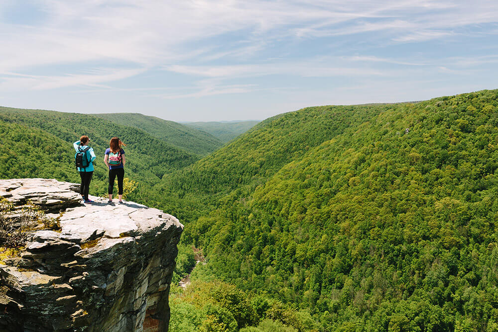
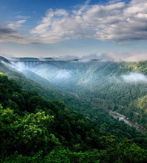
At approximately 12,747 acres, Coopers Rock State Forest is the largest in the West Virginia State Forest system. Located 13 miles east of Morgantown and eight miles west of Bruceton Mills, Coopers Rock is easily accessed by Exit 15 of Interstate 68. The spectacular scenic view from the Coopers Rock Overlook and the numerous hiking and biking trails make this State Forest one of the most visited areas in West Virginia.
History of Coopers Rock State Forest
The area in and around Coopers Rock State Forest is rich in history and has played an important part in the development of this section of the county and state. As early as 1911, the idea to examine land suitable for state forests was documented. In 1927 a State Forest and Park Commission was created. It consisted of the Governor, Commissioner of Agriculture, Director of Agricultural Extension, State Geologist and Executive Director of the Conservation Commission. Their duty was to determine the availability of land suitable for state forests and parks.
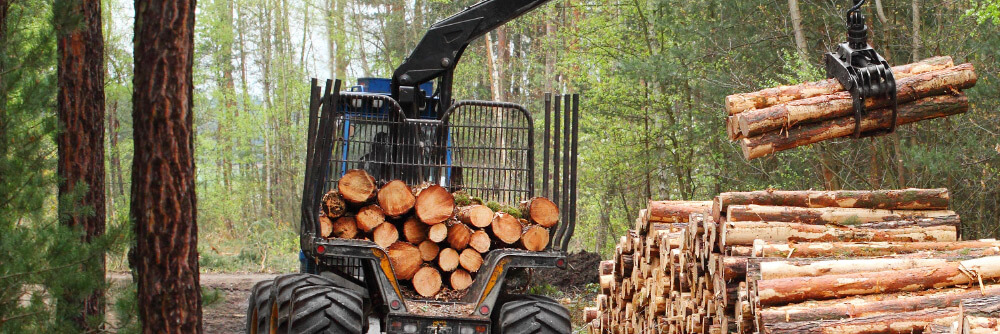
The early history of Coopers Rock revolves around the iron ore industry. The discovery of low-grade iron ore plus limestone in the Chestnut Ridge area, combined with the abundance of hardwoods for charcoal, made this locality ideal for iron manufacturing. Beginning around 1798 many iron furnaces were constructed in the area, including the Henry Clay Iron Furnace in 1834. Most of the furnaces were located near outcroppings of limestone, and vast amounts of timber were cut near the furnaces. The heaviest cuttings were in the immediate vicinity of the furnaces but spread outward as time progressed. Many old roads exist on the forest as a result of the iron ore industry and the lumber industry that followed. The Cheat Mountain iron industry gradually declined after 1848, and in 1868 suspended operations. This decline was precipitated by the discovery of rich iron ore deposits in the Great Lakes region and the continued problem of poor local transportation.
In 1900, American chestnut, white oak and red oak were selectively cut to make telephone poles, crossties and shingles. The remaining timber was cut from 1912 into the 1930s, with peak years 1924 and 1925. Everything, except scattered cull trees, was taken because of the various timber markets.
In 1936, the West Virginia Conservation Commission purchased approximately 12,863 acres from the Lake Lynn Lumber and Supply Company to manage as Coopers Rock State Forest. Two additional purchases increased the Forest by 180 acres. In 1970, a right-of-way was granted to the WV Department of Highways for the construction of Corridor E, now known as Interstate 68, thus reducing the forest by 296 acres.
During the Great Depression, the Civilian Conservation Corps (CCC) was brought in to develop the land for public use and to suppress forest fires. The local camp, named Camp Rhododendron, was constructed near Fairchance Road (State Route 857) on Kelly Run. Young men, ages 18 to 25, were put to work under the guidance of the U.S. Forest Service building roads, structures, ditches and bridges, as well as planting trees and performing other arduous labor. Their most astounding work was the connection of the Overlook to the ridge top. This was done by constructing a bridge and carving out the stone steps that are still present today. Much of their other construction work is still present, such as the superintendent’s residence, picnic shelters, and the WVU Forest Manager’s residence.
In 1959, approximately 7,068 acres were leased for 99 years to the Board of Governors of West Virginia University, for use as a research and teaching forest. This area lies north of Interstate 68, and is now known as West Virginia University Research Forest, or “University Research Forest.â€
