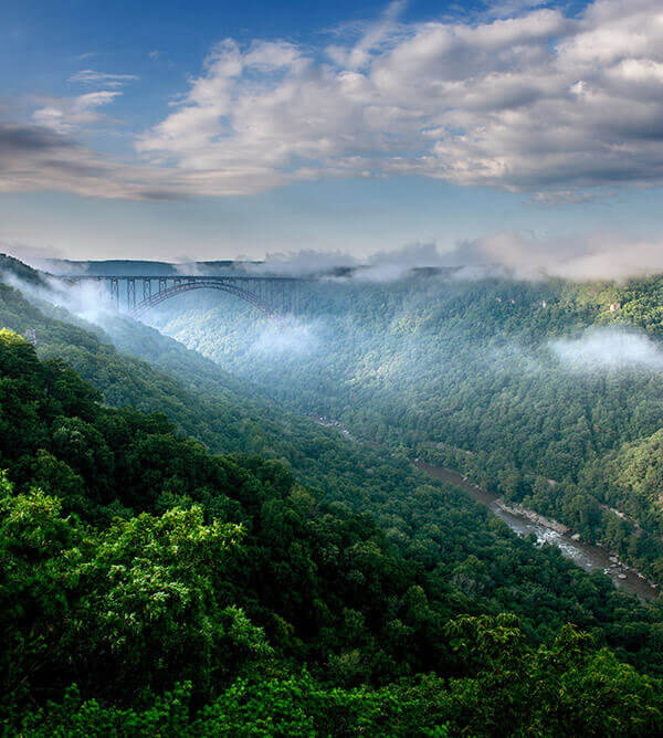
Greenbrier State Forest is located in southeastern Greenbrier County, two miles west of White Sulphur Springs. The forest can be accessed from U.S. Route 60 or by exiting I-64 and traveling one mile south on Secondary State Route 60/14.
This 5,133 acre forest is bisected by Kate’s Mountain, named for Kate Carpenter who survived an Indian raid by hiding with her infant in a hollow log. The first settlers in the area cleared land for their farms and started a tradition of burning to help establish herbaceous material for their cattle to graze. This burning and grazing practice continued for decades.
Prior to the establishment of a timber industry in this portion of the State, the original forest was primarily oak, hard pine and chestnut on the ridges with yellow poplar, hemlock, and white pine occupying the bottoms. The forest was cut over around the turn of the twentieth century. The current forest is primarily of sprout origin, with the exception of the pines and hemlock which are of seed origin.
Much of the mature timber on the forest carries scars and decay from years of repeated burning. After early settlers and farmers stopped setting fires for agricultural benefits, blazes set by trains became a serious problem. Trains, attempting to slow down on steep grades, threw hot cinders from coal burning engines and pieces of hot brake shoes that set many fires on the area that would become Greenbrier State Forest.
In 1938, the State of West Virginia purchased what is now Greenbrier State Forest from the White Sulphur Springs Park Association. That same year, the Civilian Conservation Corps (CCC) established Camp White Sulphur, in the area that presently houses the Forest headquarters and swimming pool. A company of men that had just completed work at Seneca State Forest moved in and began development work on Greenbrier State Forest.
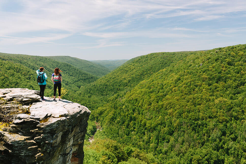
Greenbrier State Forest consists of many steep, rocky, parallel ridges and valleys that run perpendicular to Kate’s Mountain toward Howard’s Creek. More branching and rolling ridges are found on the other side of the mountain toward Quarry Hollow. These dry shale ridges make for an interesting landscape and challenging hiking conditions. The deep moist hollows are rich with herbaceous plants in contrast to dry, rocky ridges. In wet weather, streams disappear and reappear in their course down the rocky mountainside.
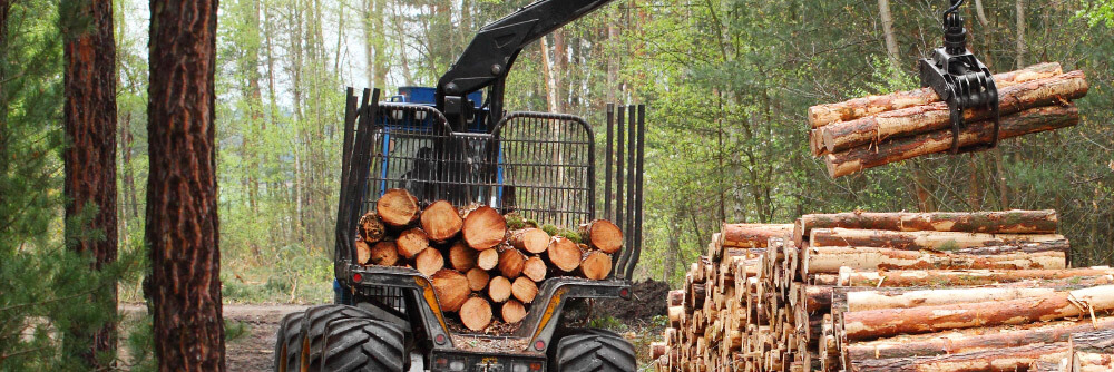
The first harvest under the management plan of 1971 was necessitated by a severe ice storm. A large quantity of dead and dying timber was salvaged, reducing fuel for forest fires while helping to condition the trees left standing. There were three additional harvests conducted under the 1971 plan. Including the salvage harvest, the average size of the harvests were 327 acres.
These harvests removed on average about 3,000 board feet per acre and ranged from 400,000 to 1 million board feet per harvest. The planned harvests on Greenbrier State Forest have been conditioning cuts to improve the stand. Trees that are over-mature, declining, of poor form or condition are removed. The remaining trees have more room to develop allowing them to grow faster and produce a healthy and vigorous stand.
Greenbrier State Forest boasts a 29-acre small woodlot demonstration area developed to show how area farm woodlots can be managed for periodic income while maintaining a stand of trees of various sizes and ages. This demonstration area is located between the cabin and picnic areas.
