Foresters use Remote Automated Weather Stations to monitor wildfire conditions
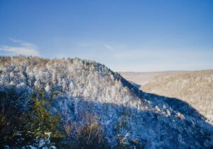
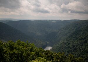
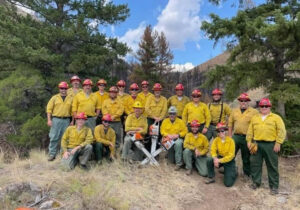
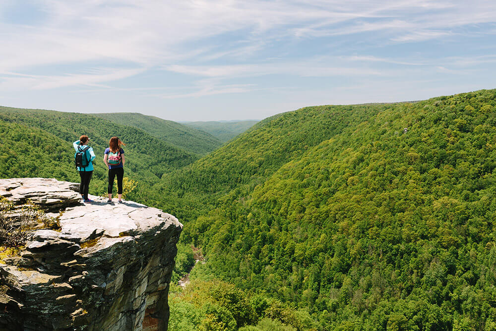
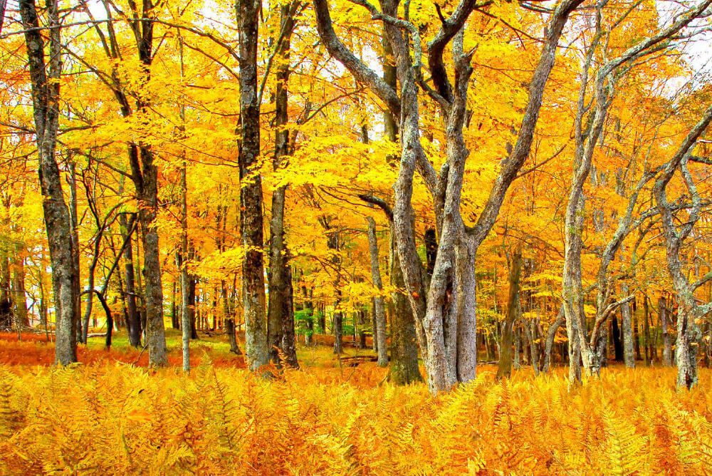
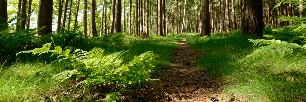
With forests covering approximately four of every five acres in the state, protecting West Virginia’s lush mountains from destructive wildfires is a crucial job for the West Virginia Division of Forestry.
The WVDOF’s fire crews not only fight fires; they also closely monitor weather conditions that might lead to wildfires spreading. That’s where the Remote Automated Weather Stations (RAWS) come into play, said Rodger Ozburn, Assistant Regional Forester/UAS Program Manager.
“Fire management staff use the data and the fire danger rating calculations to maintain our Smokey Bear Fire Danger signs throughout the state, which inform the public of current wildfire conditions,” Ozburn said.
“We also use the data to plan staffing needs throughout the fire season and to anticipate the potential for severe fire weather or increased potential for fire occurrence.”
A good example of that would be in the fall of 2019, when Governor Jim Justice issued a statewide burning ban. That decision wasn’t undertaken lightly. Experts had reviewed the data from RAWS positioned throughout the state and determined that West Virginia’s climate was too dry to allow any outdoor burning.
“There’s a science behind the decision making. You have to be able to justify your actions and strategies employed,” Ozburn said.
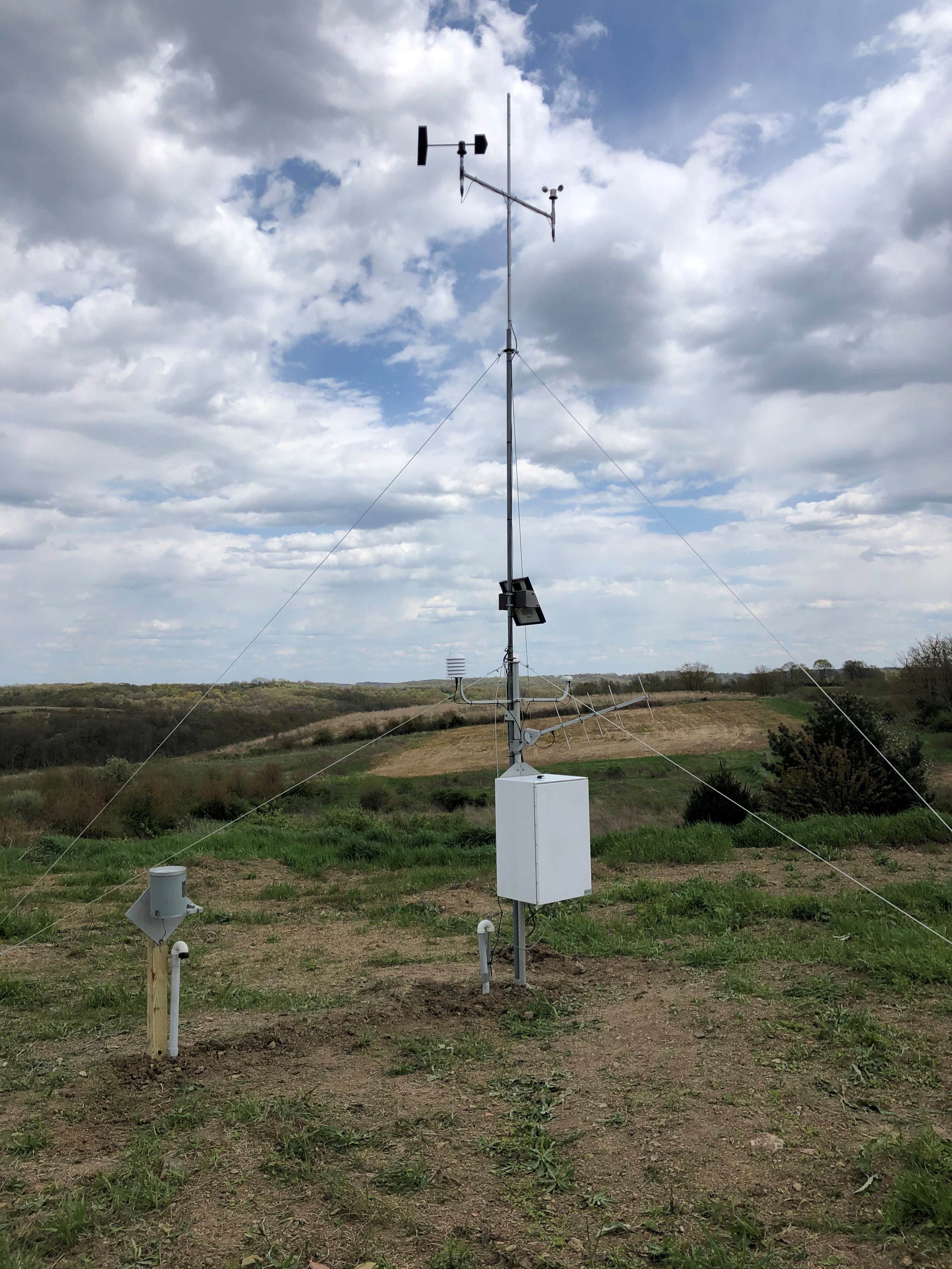
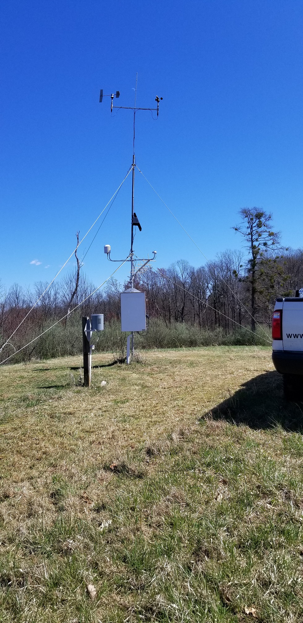
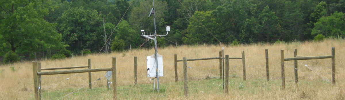
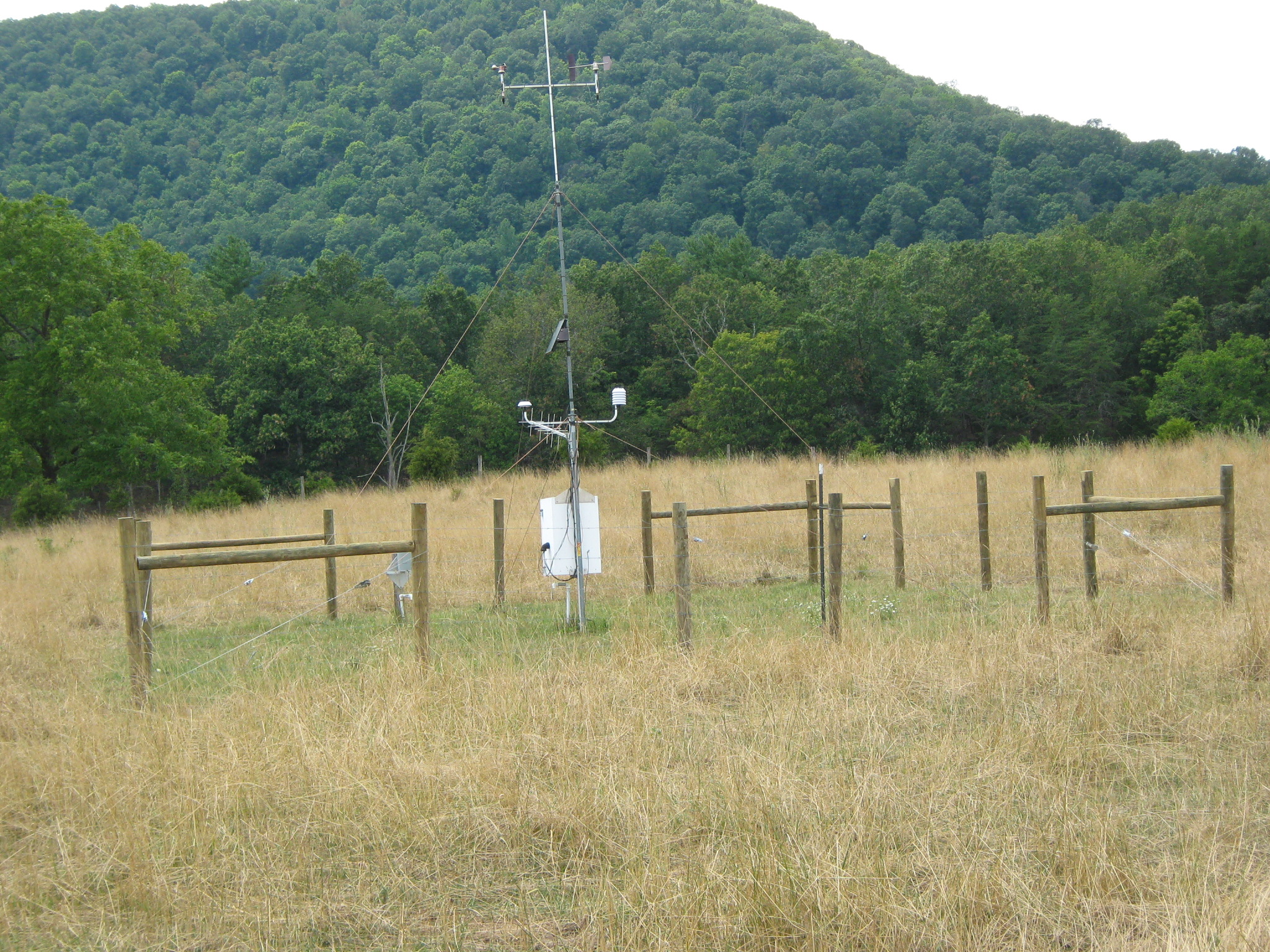
Forestry’s weather stations
Unlike the automated airport weather stations you might see at some airports, RAWS are usually located in remote yet accessible areas, like national parks or state forests.
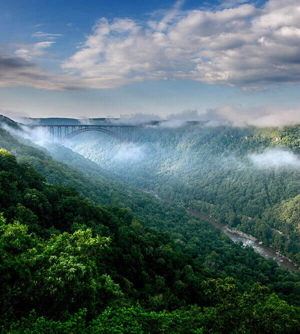
The WVDOF manages 13 of its own weather stations in the state as well as one owned by West Virginia University in the WVU Research Forest. There also are two U.S. Forest Service stations in the Monongahela National Forest and one National Park Service station in the New River Gorge.
“Our weather stations were purchased several years ago using funds from the U.S. Forest Service. We contracted with a Canadian company called Forest Technology Systems, which produce some of the best weather and hydrological equipment in the world,” Ozburn said. “All of the stations owned by the DOF are manufactured by FTS.”
How do they work?
A typical weather station might resemble a TV or radio antenna. Because of their remote locations, many have their own solar panels or run on a battery-powered generator.
“All of our weather stations have sensors that collect observations on wind speed and direction, relative humidity and temperature, precipitation amount, and the amount of solar radiation during daylight hours,” Ozburn said.
These observations are collected multiple times during an hour, averaged, and then transmitted via satellite each hour during a specific time period. Foresters have undergone specialized training on understanding the variables and putting them all together.
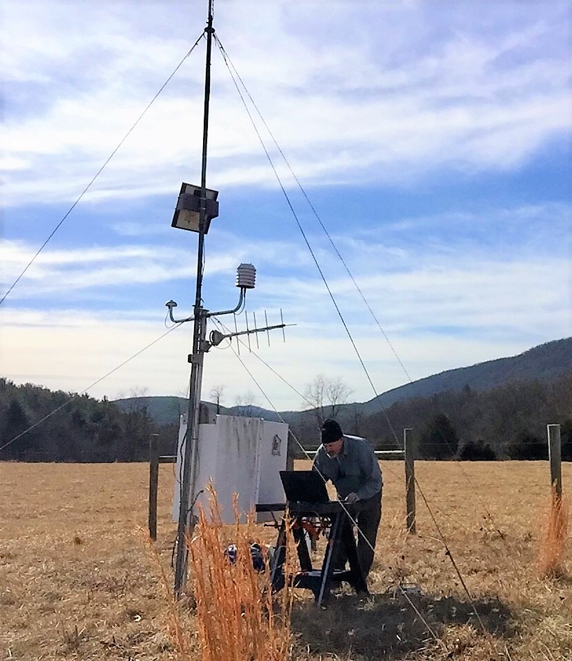
“Every day, the fire manager who’s in charge of a station has to log into a website and review the observations to make sure they appear to be reasonable, given what we see out the window. We’re changing the RAW data into an actual observed data.”
That data is entered into the Weather Information Management System (WIMS). Secure government servers store and run the data through sophisticated computer models to calculate current fire danger parameters as well as predict future fire danger over the short term.
But there’s more to the job than just reviewing data, he added. Troubleshooting is part of the job, too.
“When there’s a glitch, sometimes we have to make a trip out to the weather station to make sure there’s not a loose wire or vandalism,” Ozburn said.
One caveat to the weather stations’ remote locations: Data transmissions may occasionally be disrupted by wildlife.
“One year we had a bear rubbing up against the rain gauge posts. We were getting strange readings at our Romney station, and when we went to the site, we found out the rain gauge had turned onto its side.”
Data at your fingertips
Data collected from the RAWS sites is available online. Each square on the West Virginia map represents the general location of weather station.
The geographic area represented by each station depends on the climate. If a weather station is placed in a valley, for example, it will record the weather in the valley but not on the mountaintops around it. For that reason, stations may be placed centrally in a valley or on top of ridgelines, but never against the base of a mountain or close to a large body of water, which are terrain features that could negatively influence weather observations.
A daily Wildfire Danger Map and Fire Danger Forecast for West Virginia is available on the West Virginia Division of Forestry website.
So, the next time you pass one of those Smokey Bear Fire Danger signs, take a minute to appreciate the science behind those color-coded rankings!